

Flying in from Krakow, Poland.


With mainly Litvak friends


Family


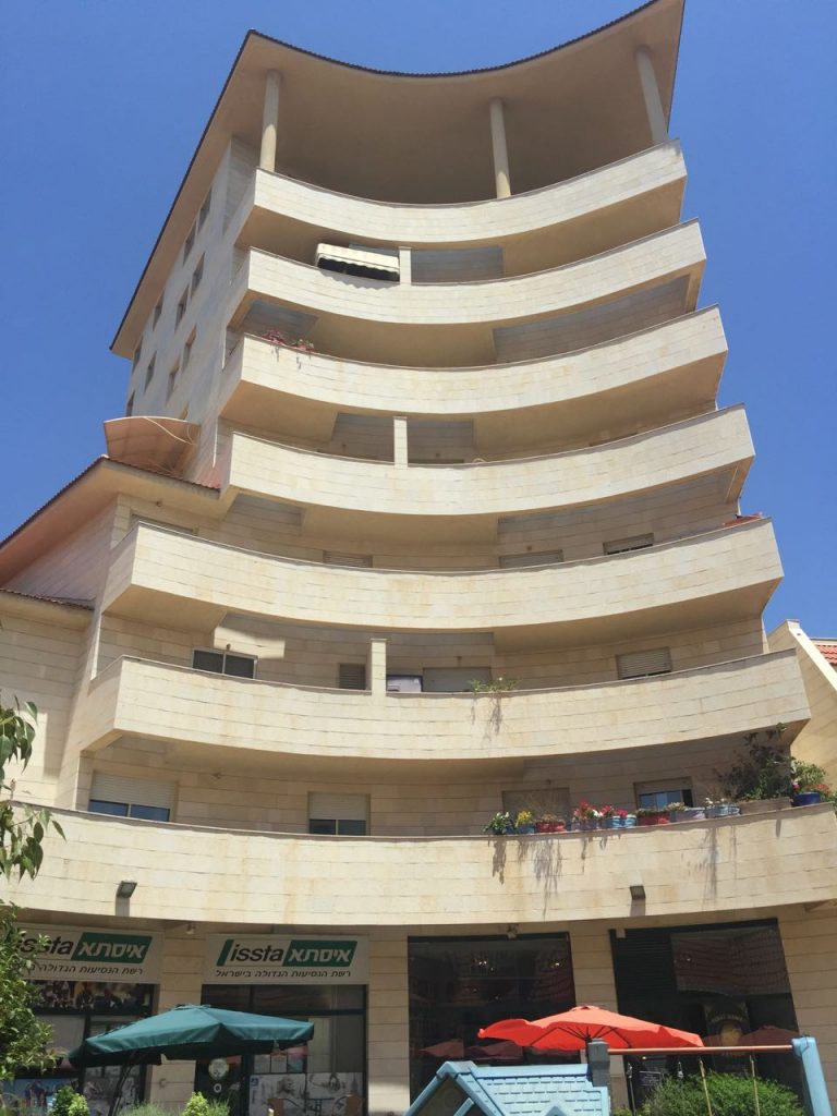
The beachfront at Ramat Aviv


Ramat Aviv – Wikipedia

Ramat Aviv (Hebrew: רָמַת אָבִיב, lit. Spring Heights) is a neighborhood in Tel Aviv, Israel. Ramat Aviv has expanded over the years and now consists of four quarters: Neve Avivim (Ramat Aviv Bet), Ramat Aviv Aleph, Ramat Aviv Gimmel, and Ramat Aviv HaHadasha.
Source: en.wikipedia.org/wiki/Ramat_Aviv
Ra’anana (fontein)


Litvak talk at IGRA


Ra’anana – Wikipedia

Ra’anana (Hebrew: רַעֲנָנָּה, lit. “Fresh”) is a city in the heart of the southern Sharon Plain of the Central District of Israel. Bordered by Kfar Saba on the east and Herzliya on the southwest, it had a population of 70,782 in 2015.[1] While the majority of its residents are native-born Israelis, a large part of the population are immigrants from the Americas and Europe.
Source: en.wikipedia.org/wiki/Ra’anana
Down to Ashkelon by train


Ashkelon – Wikipedia

Ashkelon (/æʃkɛloʊn/ also spelled Ashqelon and Ascalon; Hebrew: אַשְׁקְלוֹן [aʃkelon]; Arabic: عسقلان ʿAsqalān) is a coastal city in the Southern District of Israel on the Mediterranean coast, 50 kilometres (31 mi) south of Tel Aviv, and 13 kilometres (8.1 mi) north of the border with the Gaza Strip. The ancient seaport of Ashkelon dates back to the Neolithic Age. In the course of its history, it has been ruled by the Ancient Egyptians, the Canaanites, the Philistines, the Assyrians, the Babylonians, the Greeks, the Phoenicians, the Hasmoneans, the Romans, the Persians, the Arabs and the Crusaders, until it was destroyed by the Mamluks in 1270.
Source: en.wikipedia.org/wiki/Ashkelon
With Jack Shmueli in Moshav Ohad


Ohad, Israel – Wikipedia

Ohad (Hebrew: אֹהַד or אוהד) is a moshav in southern Israel. Located in the Hevel Eshkol area of the north-western Negev desert near the Gaza Strip border, it falls under the jurisdiction of Eshkol Regional Council. In 2015 it had a population of 404.[1]
Source: en.wikipedia.org/wiki/Ohad,_Israel


Carmel Market – Wikipedia

Carmel Market (Hebrew: שוק הכרמל, Shuk HaCarmel) is a marketplace in Tel Aviv, Israel.[1]
Tel Aviv Beach


Tel Aviv Promenade – Wikipedia

Tel Aviv Promenade (Hebrew: רצועת חוף תל אביב-יפו, commonly referred to in Hebrew simply as the Tayelet, Hebrew: הטיילת) runs along the Mediterranean seashore in Tel Aviv, Israel.
Leaving Israel


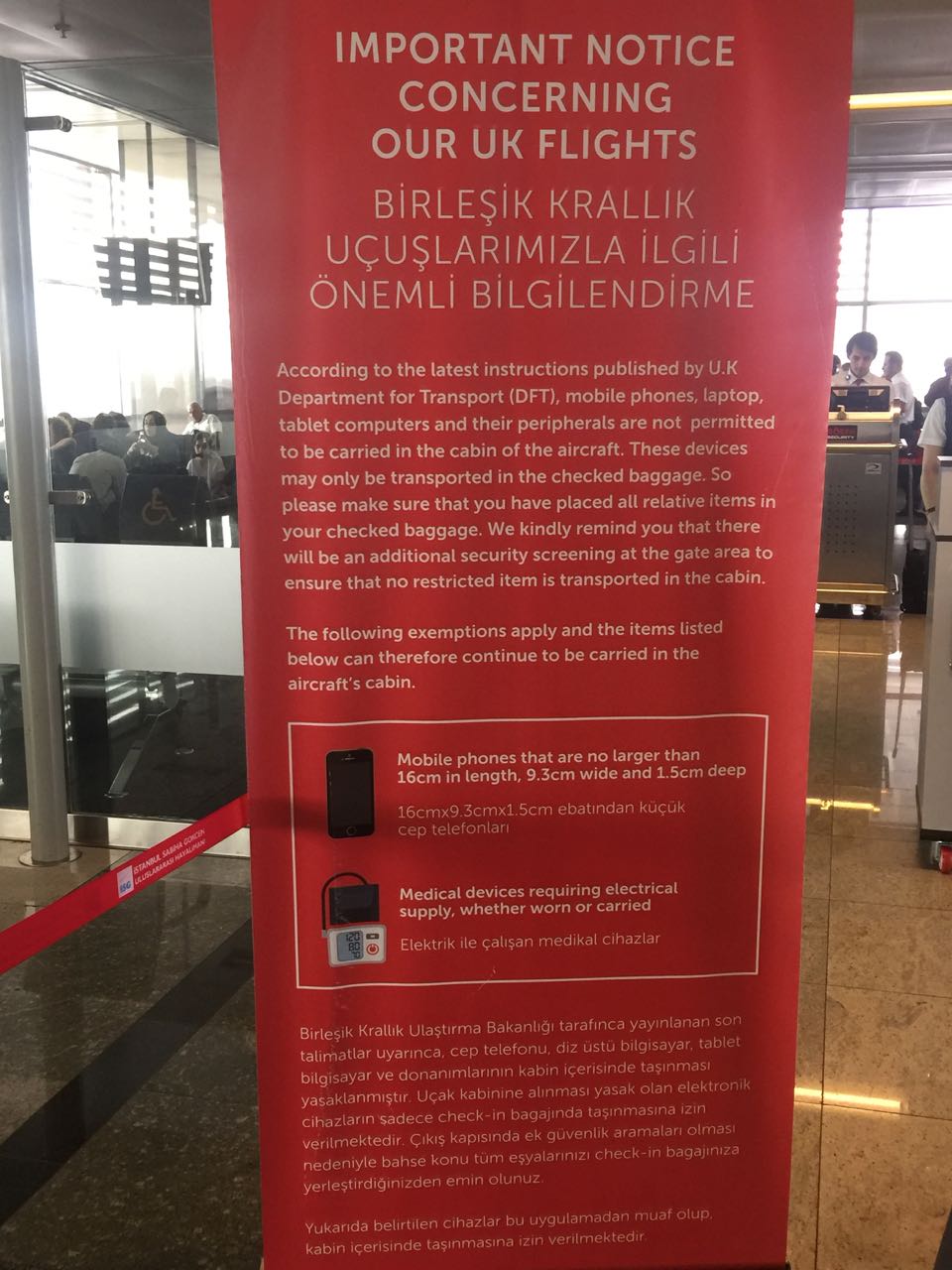
Turkish Transit


Special security flying into UK from Turkey!